Ånnaboda
Suttarboda loop
- Estimated time at a jogging pace
- 1 h 45 min–2 h 10 min
- Distance
- 13.6 km
- Climb
- 220 m
- Difficulty
- Moderate
- Route type
- Loop
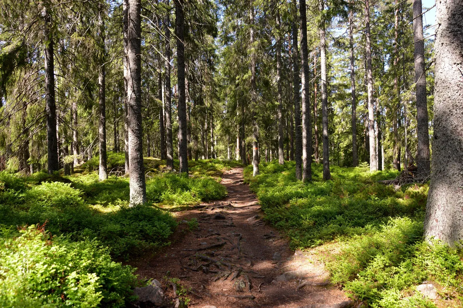
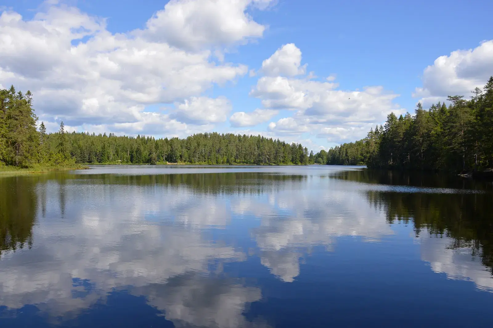
A loop between Ånnaboda and Suttarboda, over Falkaberget and past Björktjärn. Back to the same start, on forest paths and minor roads.
Map
Along the way
From the start of the GPX track. Choose a place to see it on the map and elevation profile.
- Distance
- 13.6 km
- Climbing
- 220 m
- Surface
- Forest trail and minor roads, hilly in places
- Route
- Loop
- Start
- Ånnaboda, by Södra Ånnabosjön
Ånnaboda
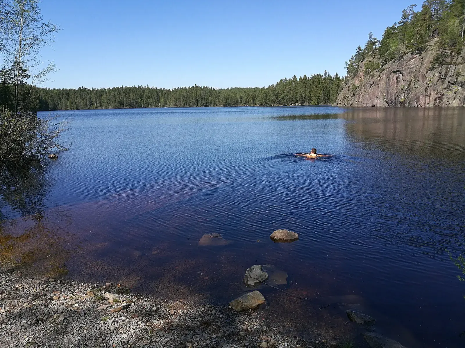
Ånnaboda is the way into Kilsbergen, 20 km west of Örebro. There is parking, a bus from Örebro at weekends and in school holidays, and First Camp with a sauna and swimming in Södra Ånnabosjön when you are done. Both the Bergslagsleden trail and the Blue Mountain Trail Run courses start here.
The nature reserve around Södra Ånnabosjön and Falkasjön is full of trails. Örebro municipality shows three loops of 2.5, 5 and 8 km, and the numbered mountain-bike trails add more: narrow, soft forest paths that are just as good for running.
From Falkaberget you look out over Falkasjön, and from Sånnabodahöjden, 266 m above sea level, over the whole Närke plain.
Plan your run
Swimming
Not verified along the route
Waymarking
Waymarked in orange on Bergslagsleden and blue on the connecting trail.
Toilets and drinking water have not been verified for this route. Bring the water you need.
Getting there
Start: Ånnaboda, by Södra Ånnabosjön
Parking: Car park, Ånnaboda
Bus: Länstrafiken bus 590 runs from Örebro’s bus terminal (Resecentrum) to Ånnaboda in 40 minutes, but only at weekends and in school holidays, a few times a day. Check the times at lanstrafiken.se.
Good to know
- Waymarked in orange on Bergslagsleden and blue on the connecting trail.
- Trail maps give 12 km and Naturkartan 13 km. The downloadable GPX track measures 13.6 km.
- The GPX start has been moved to Ånnaboda. The track comes from the trail guide; we have not run and checked it.
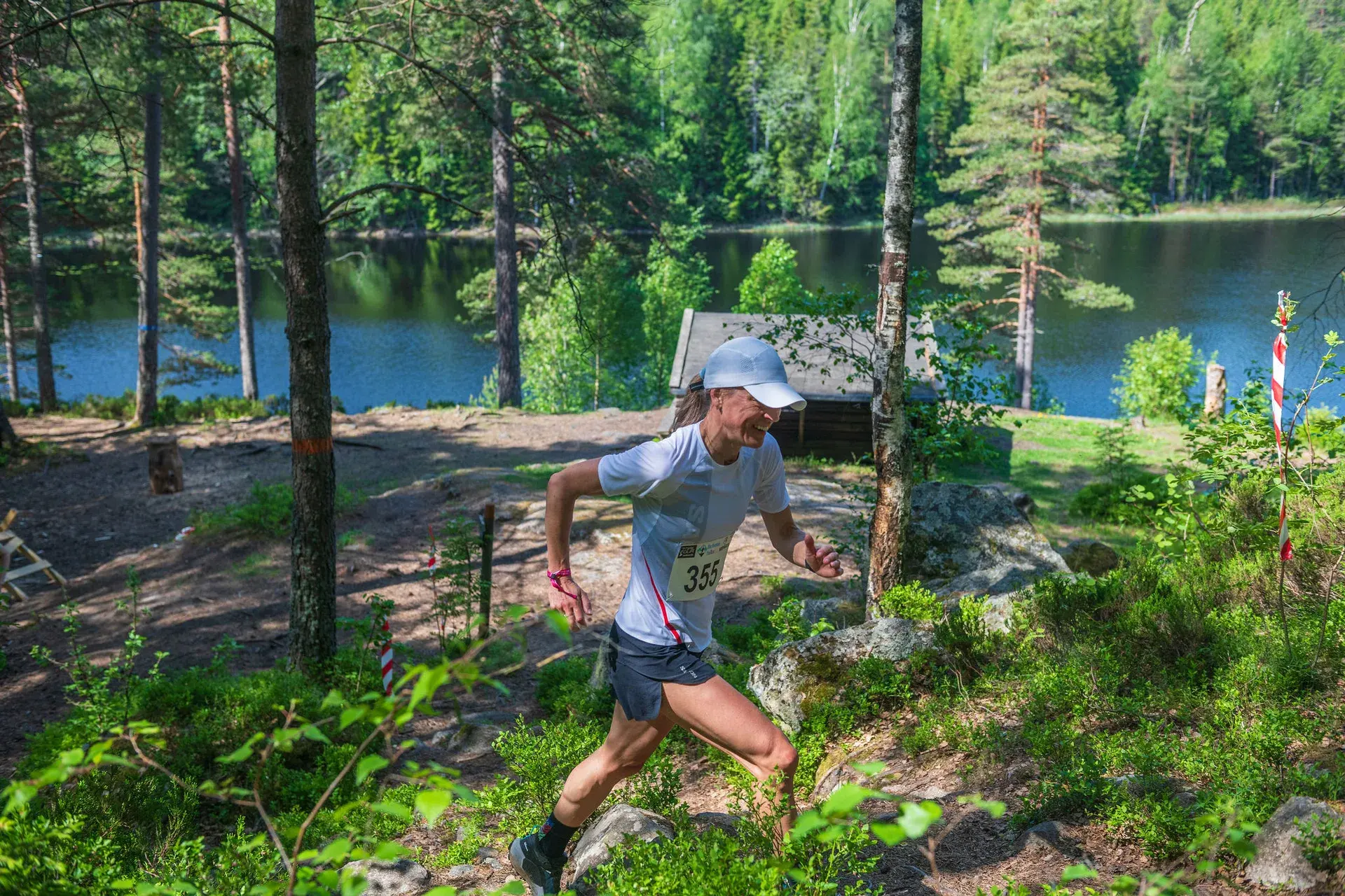
Saturday 29 May 2027 · First Camp Ånnaboda
Find your Blue Mountain distance
Enjoy these hills with a marked course, timing and other runners.
15 km · Alvars stig
The middle distance, single track all the way.
Compared with this route: 1.4 km more, 180 m of climbing more.
Explore this course →