
21km
Blankhult
The long loop, with climbing and technical trail.
Course partner ELON
About the course Blankhult10 km Course partner Naturkompaniet
Trolldalsvägen runs through Trolldalen, the part of Kilsbergen that gave the race its reputation. Fast enough to push, with 230 m of climbing and more trail than road.
How long it takes
From the results 2023–2026.
Highest point 274 m · lowest point 107 m
Drag across the elevation profile to see where you are on the course. Choose Race office in the map for the start, finish and services.
At the race centre there are toilets, parking, showers, a restaurant and hot dogs and burgers.
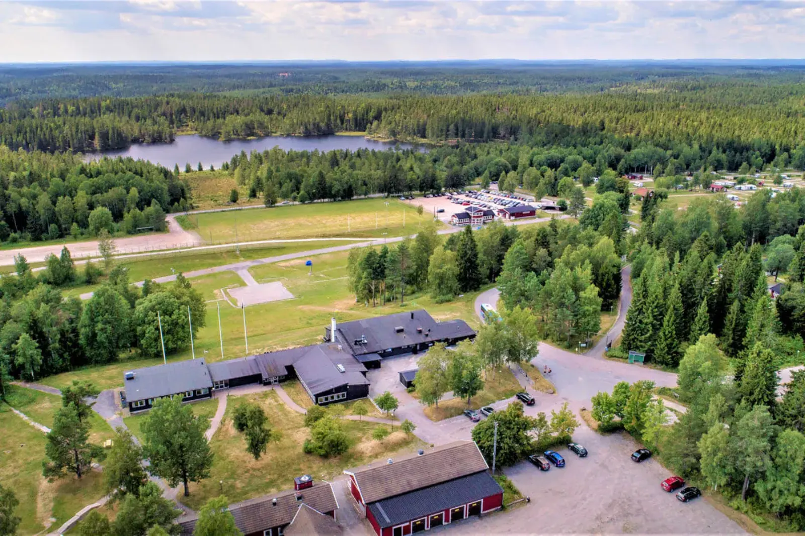
The start crosses the ski bridge and climbs to the viewpoint on Sånnabodahöjden. Then you follow the same route as the longer courses: 1.5 km of mountain-bike trail 6 (green) and then stage 9 of the Bergslagsleden trail, hilly and technical, as far as Trolldalsvägen after 4.4 km.
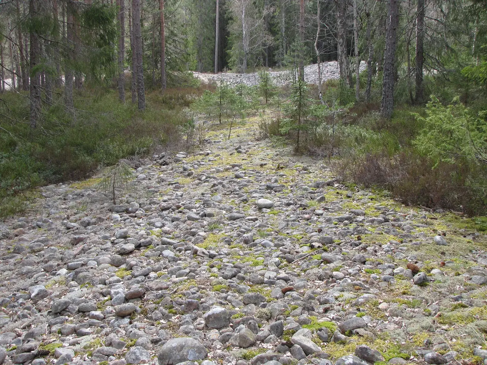
Here the course leaves the trail and follows Trolldalsvägen through Trolldalen for just over a kilometre, to the point where the long course crosses the road on its way home. The water and energy station is at 5.5 km.
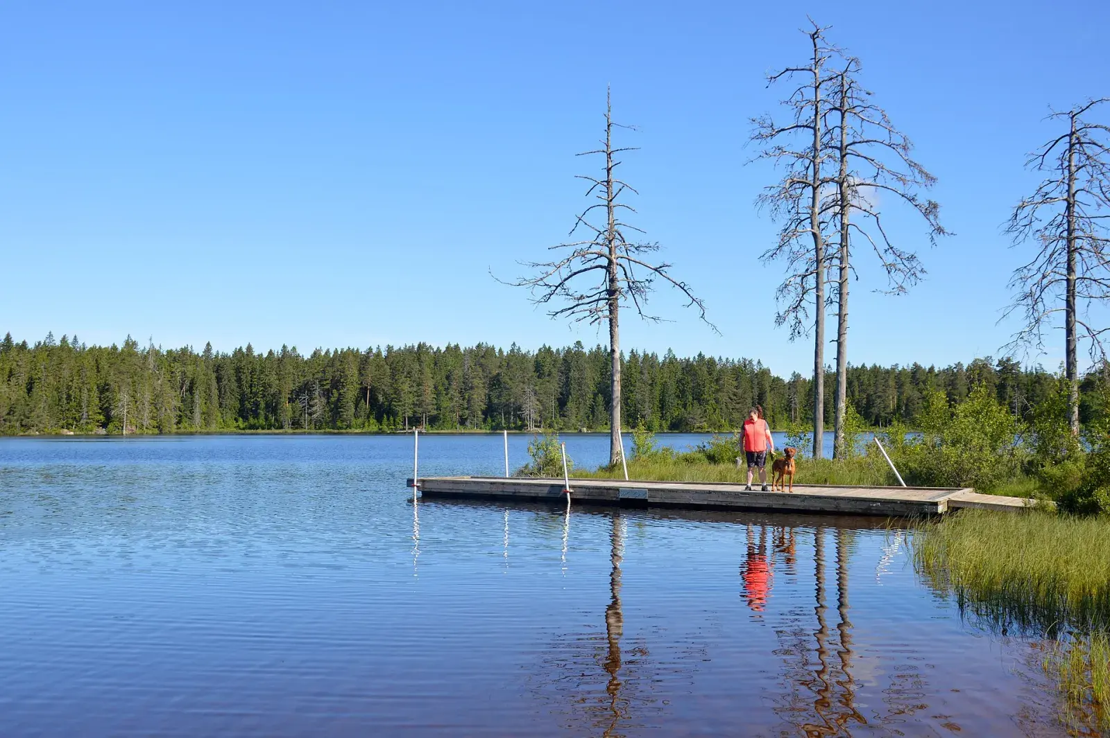
From there the way home is the same as for the 21 and 15 km: mountain-bike trail 2, across the Göljebäcken stream and finally the climb with a capital C up towards Sånnabodahöjden, 266 m above sea level, with its view over the Närke plain. Then only about 300 metres remain to the finish at First Camp Ånnaboda.
21km
The long loop, with climbing and technical trail.
15km
The middle distance, single track all the way.
6km
The short loop around the lake, a good first trail race.