Pershyttan and Digerberget
Digerberget loop
- Estimated time at a jogging pace
- 1 h 10 min–1 h 30 min
- Distance
- 9.8 km
- Climb
- 110 m
- Difficulty
- Moderate
- Route type
- Loop
A loop in northern Kilsbergen through the old ironworking village of Pershyttan and the forest around Digerberget. A different part of the area from Ånnaboda, with traces of mining along the way.
Map
- Distance
- 9.8 km
- Climbing
- 110 m
- Surface
- Trail and minor roads
- Route
- Loop
- Start
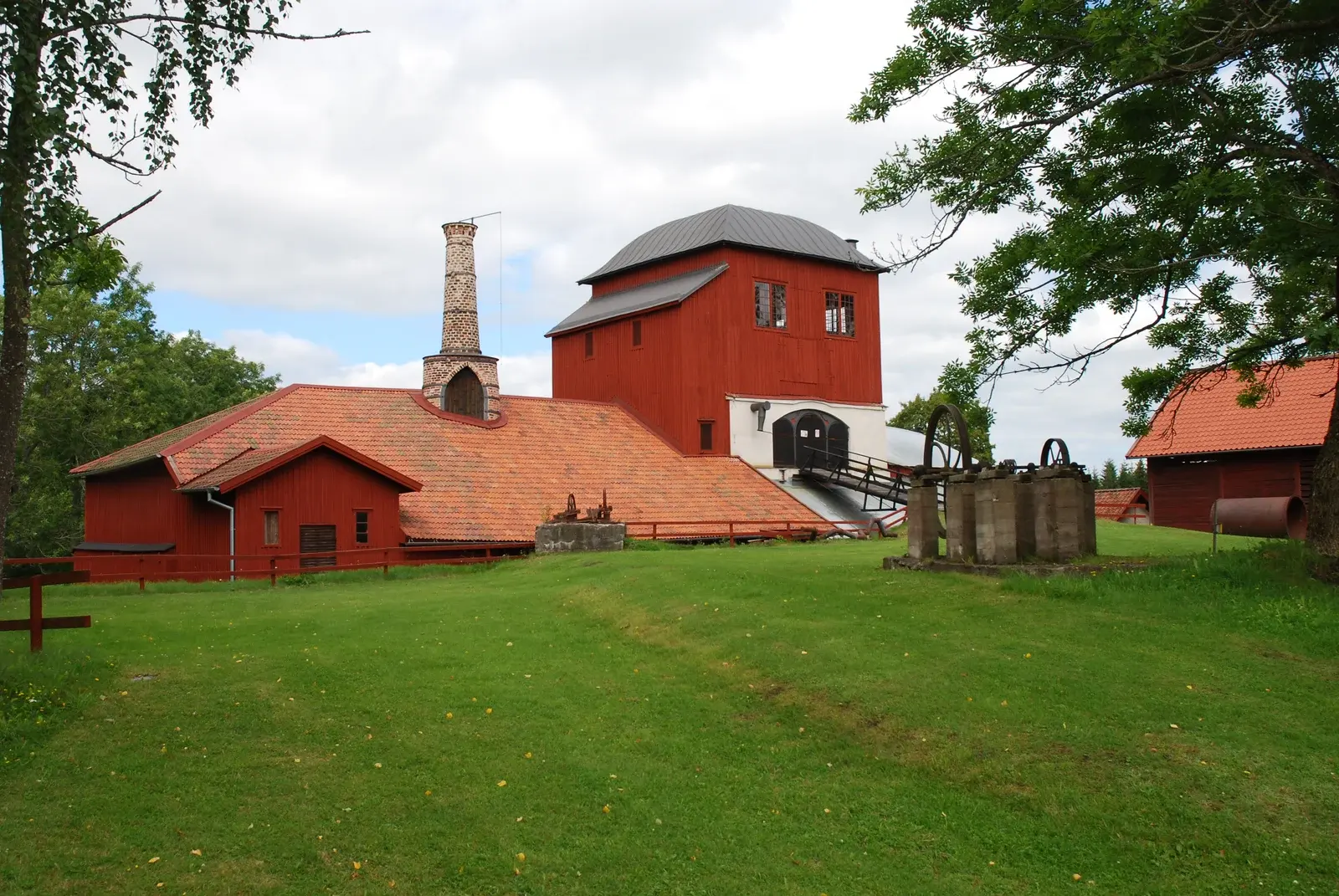
- The old ironworks area at Pershyttan
Pershyttan and Digerberget
At Pershyttan, south of Nora, mining history meets the forest trails of Kilsbergen. The Digerberget loop connects the area with Bergslagsleden.
The Digerberget outdoor centre is a starting point for the loop. Parts of the route are also mountain-bike trails, so take care when meeting other users.
Plan your run
Parking
Not verified at the start
Swimming
Not verified along the route
Waymarking
Waymarked in blue on the connecting trail; the remaining parts follow Bergslagsleden.
Toilets and drinking water have not been verified for this route. Bring the water you need.
Getting there
Start: The old ironworks area at Pershyttan
Good to know
- Waymarked in blue on the connecting trail; the remaining parts follow Bergslagsleden.
- Parts are also mountain-bike trails. Take care when meeting other users. The GPX start has been moved to the ironworks area at Pershyttan.
- Older trail maps give 9 km and Naturkartan 10 km. The downloadable GPX track measures 9.8 km.
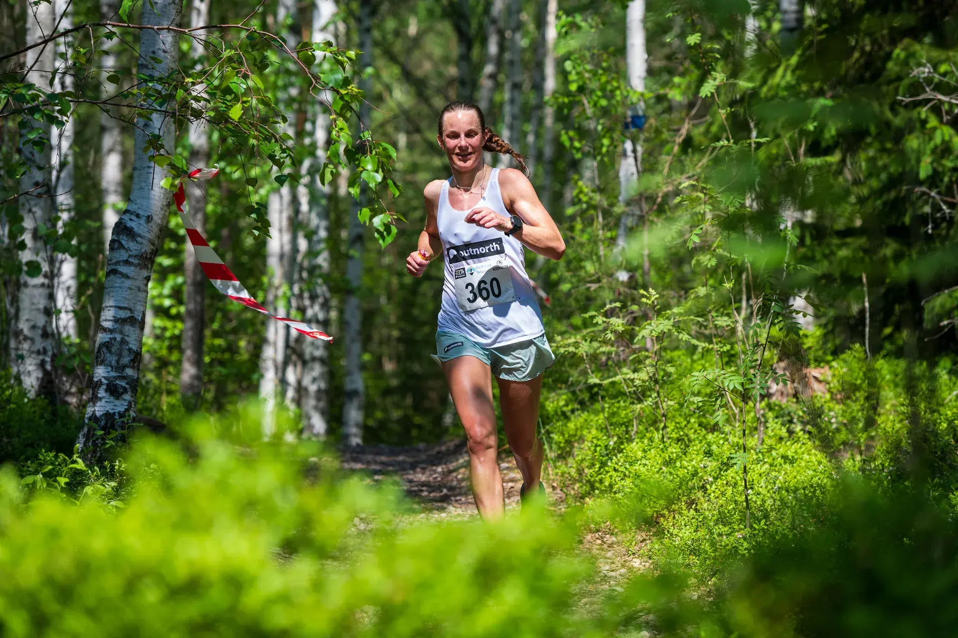
Saturday 29 May 2027 · First Camp Ånnaboda
Find your Blue Mountain distance
Enjoy these hills with a marked course, timing and other runners.
10 km · Trolldalsvägen
A classic 10 km through Trolldalen.
Compared with this route: 0.2 km more, 120 m of climbing more.
Explore this course →