Göljan, Gårdsjön and Trolldalen
Göljestigen
- Estimated time at a jogging pace
- 45–55 min
- Distance
- 5.2 km
- Climb
- 140 m
- Difficulty
- Easy
- Route type
- Loop
The loop along the Göljebäcken stream, past Skinnarsågsfallet, the highest waterfall in Kilsbergen, and a field of beach boulders about 10,000 years old.
Map
- Distance
- 5.2 km
- Climbing
- 140 m
- Surface
- Trail, easy
- Route
- Loop
- Start
- Ånnaboda via the Bergslagsleden trail, or the car park at Lövbrickan
Göljan, Gårdsjön and Trolldalen
North of Ånnaboda the Göljebäcken stream runs down from Kilsbergen. Göljestigen follows it past Skinnarsågsfallet, the highest waterfall in Kilsbergen, and a field of beach boulders about 10,000 years old.
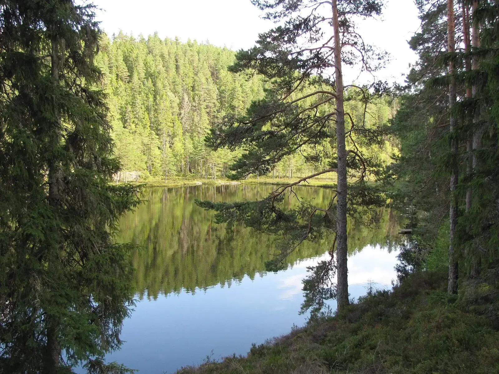
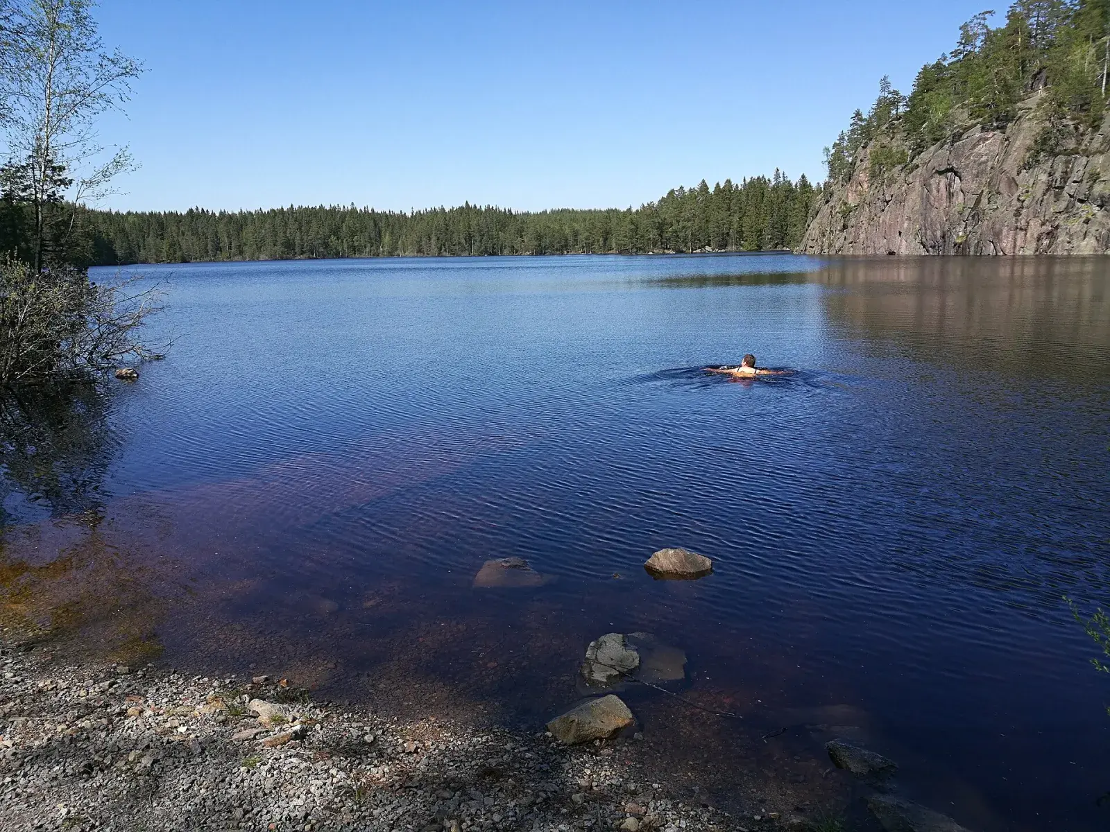
At Gårdsjötorp the Gårdsjön loop starts, 7 km with a view of the lake almost all the way, and the short Lilla Gårdsjö loop. In the same forest is the Reservatslingan loop, 10 km through the Trolldalen, Vargkitteln and Lövbrickan nature reserves. Trollgrytan, a giant’s kettle, is in Trolldalen.
Along the way
- 2.2 kmSkinnarsågsfallet: The waterfall on the Göljebäcken stream, formed when the dam at Stora Dammsjön burst.
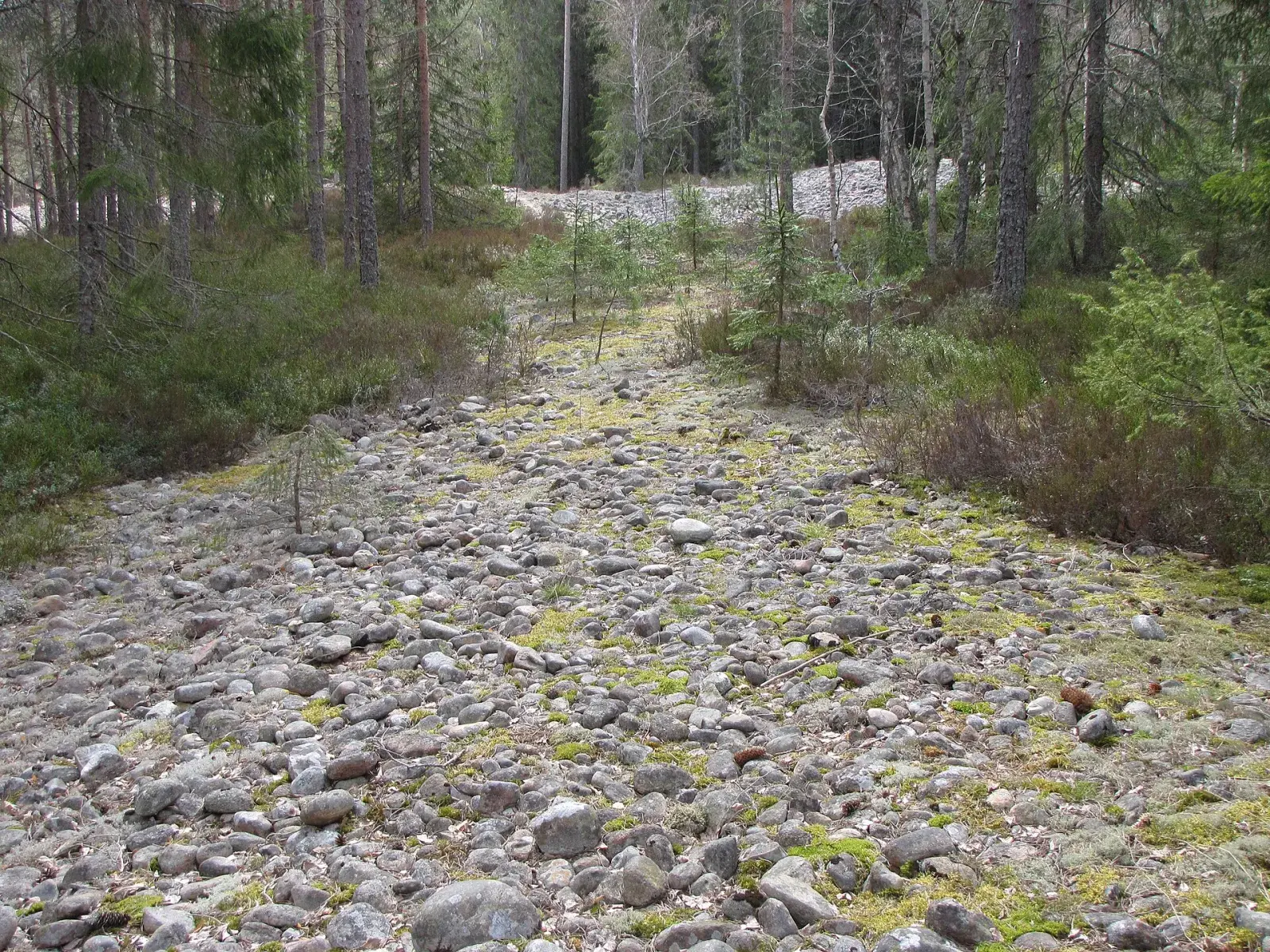
- 3.3 kmThe boulder field: About 10,000 years old.
Getting there
Start: Ånnaboda via the Bergslagsleden trail, or the car park at Lövbrickan
Good to know
- Skinnarsågsfallet, the highest waterfall in Kilsbergen, comes after just over two kilometres. It formed when the dam at Stora Dammsjön burst.
- The boulder field is about 10,000 years old. The stones can be slippery when wet.